The role of accurate data in environment management
How emerging sensor technology can better your management of bush reserve, wetlands and other important environmental areas.
Heightened public focus on environmental sustainability means there is greater awareness and attention on:
- Water quality and access to clean water
- Protecting highly productive land
- Improving ecosystems and biodiversity
- Supporting the cultural health of our waterways
As a result of this, it is not uncommon to see bush reserves, QE 2 Trust areas, streams and large areas of Conservation and Council land fenced off from the public.
While securing these sensitive environments from public access and high foot-traffic helps to resolve one part of the problem, there are other critical management issues to consider in maintaining them like, the water level management required to help them flourish.
Take the case of a wetland for example, the water coming in and going out poses many environmental benefits to the communities it surrounds such as better water quality, flood control, and a safe, natural wildlife habitat. But unless its water levels are managed at specific points it will be difficult to maintain and maximise its health. If you’re not getting a clear read of the varying water levels, how do you know that the water is getting cleaned? Or, that water levels are being maximised to suit wet and dry seasons?
Similarly in bush reserves, nothing grows well with contaminants in the water, as a result sometimes reserves will need to be drained – the manager may choose to block drains for irrigation or to add more water inputs. Regardless, having well-placed sensors that provide accurate, area specific data will ensure efforts are not wasted.
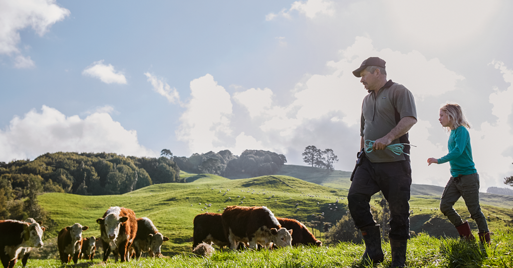
Sensors have their place in the industrial and farming sector too – it’s possible to assess your animals’ grazing pressures and the water quality coming in and leaving the property.
For both wetland, bush reserves and industrial farming areas, analysing climate details at an area level won’t give managers the accurate data they need to take the appropriate, timely action. Instead, organisations should look to take an incremental approach by placing sensors at certain points throughout environmental areas to achieve a more accurate and actionable read. By setting targets, examining water levels, and relating that to the overall health of the area it will be easier to manage variation and ensure that overall environment health is maximised.
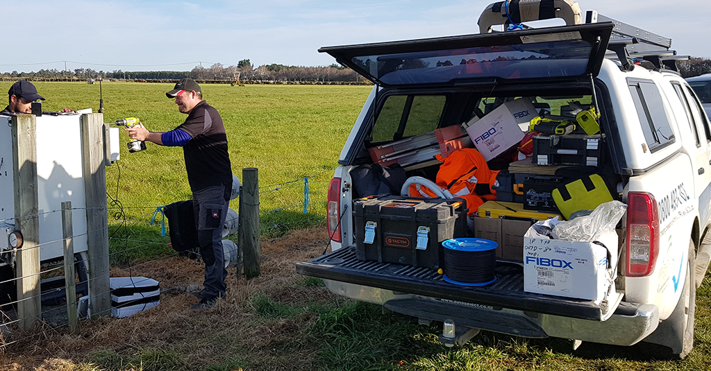
Technology is changing and advancing in many forms. By placing sensors in a variety of positions you can gain valuable and factual data which can be used to base management decisions on. For example, if you have historic data records from a successful season three years ago you can easily understand and replicate those conditions to achieve similar results.
At Watermetrics, we can help you to make best use of these technologies and gather accurate environment data. We understand sensor placement can be a challenge but there are simple ways to get around these issues so you can maximise environment readings. For example, the basics of climate, water inputs, and soil moisture can be added with nitrate and other chemical sensors to other sensor devices to arrive at the same result.
Accurate data will become your guide to environment management success whether your position is in the Council or at the farm. Talk to the Watermetrics team to discuss how we use emerging technology to help environment managers like you, succeed.